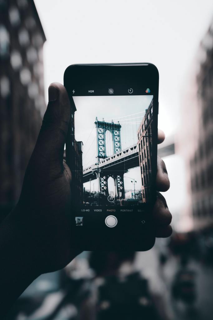
It may be hard to believe, but each day we post over 1.8 billion photos to the internet, thats over 20,000 a second! While many of these are likely to be selfies, there must be many millions of photos of everyday streets and urban places. Each of these photographs holds valuable data about the qualities of each street, but because this data is in a visual format it can be hard to analyse and make sense of the huge number of images that are being posted to social media every day.
However, in a recent collaboration between Walkonomics and researchers from Yahoo Labs (Daniele Quercia, Luca Maria Aiello and Rossano Schifanella) we have been able to begin to understand what millions of urban street photos can tell us about walkability.
(more…)

